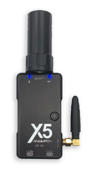
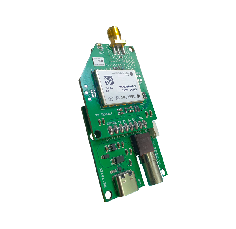
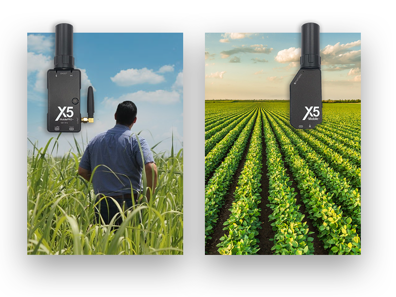
A high-precision GNSS receiver that works when connected to a smartphone or tablet. Supports RTK, PPK, and NTRIP corrections, with USB or Bluetooth connectivity.
A sub-metric GNSS system with centimeter-level precision data
All satellite constellations supported:
GPS/QZSS, GLONASS, GALILEO, and BEIDOU. Achieves precise positioning in seconds, even in challenging environments.
With technology
Ready for PPK
The Post-Processed Kinematic (PPK) mode allows you to correct the data after it has been collected. The X5M and X5M PRO also operate in PPK mode. Simply connect it to your device using the USB port.
Corrections in NTRIP Mode
Multi-band RTK-NTRIP corrections with fast convergence times and robust performance over the internet. Connect it to your Android, Windows, or iOS* device, or even to a power bank.
X5 Mobile PRO:
RTK mode with LoRa radio
The X5 Mobile PRO receiver features RTK (Real-time Kinematic) technology, which achieves centimeter-level accuracy through corrections transmitted via radio (433 and 915 MHz) using LoRa technology. When used with the GNSS X5R receiver, it can achieve transmission distances of up to 10 km.
The ideal GNSS receiver for geodesy and photogrammetry
Achieve high-precision georeferencing of photos for photogrammetry with the X5 Mobile or X5 Mobile PRO receiver.
Compatible with GIS, Surveying and Photogrammetry applications
SURPAD 4.2 App
SW Maps
ArcGIS Survey123
QGIS (Windows)
Pix4DCatcher (Photogrammetry)
FieldGenius
Survey Master
RTK camera (Photogrammetry)
and other apps that work with NMEA data!
With apps like ‘Bluetooth GNSS’ or similar ones, you can fully integrate the X5 Mobile & PRO with your Android device and use it with any app that requires centimeter-level accuracy.
Connect it via USB and Bluetooth
Data transfer via USB port and Bluetooth for easy integration with multiple devices, and power supply via power banks!
Install it on a surveying pole!
It includes an accessory designed for easy installation of the X5 Mobile and X5 Mobile PRO on a 5/8” threaded mount.
The X5 Mobile in action:
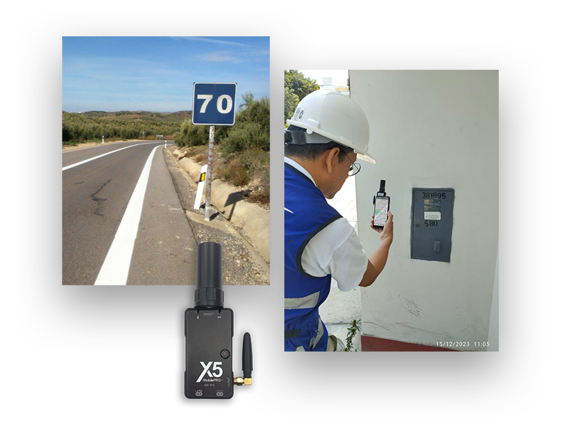
Inventories of Road and Electrical Infrastructure
Efficiency and Accuracy in Government Oversight
In the field of infrastructure management, regulatory agencies have experienced significant transformation by adopting our sub-meter-level precision, handheld GNSS receiver. The X5 Mobile has revolutionized field data collection by enabling efficient, discreet, and accurate gathering of geospatial information. The mobility and portability of the X5 Mobile simplifies the work of field personnel, eliminating the need for bulky and complex equipment. By achieving sub-meter accuracy, measurements become more reliable, improving the quality of asset inventories and facilitating better decision-making. The X5 Mobile optimizes resources and time, enhancing the efficiency of monitoring critical infrastructure, which is essential for true sustainable development.
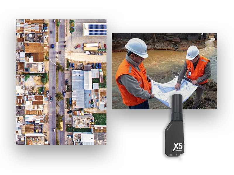
Geographic Information Systems
Geospatial efficiency in GIS consulting
The sub-meter-level GNSS receiver, the X5 Mobile, has set a significant milestone in GIS consulting. This powerful, compact device has proven invaluable for collecting precise data. By using the X5 Mobile pocket-sized sub-meter GNSS receiver, consultants can perform field mapping quickly and efficiently, providing their clients with reliable and up-to-date geospatial data. Its portability and rapid GNSS signal acquisition enhance productivity, while the high accuracy of the measurements ensures the quality of the resulting maps. This innovative approach has enabled the optimization of geospatial data-driven decision-making processes, thus contributing to the success of GIS consulting projects.
Geospatial innovation for agriculture
Comprehensive precision in boundary delineation, soil studies, and more
The introduction of the sub-meter-level GNSS receiver, the X5 Mobile, has marked a significant advancement in agriculture by providing a versatile and precise tool for various field activities. For land surveying, this handheld device streamlines the process of defining field boundaries with sub-meter accuracy, optimizing crop planning. In soil analysis, farmers can create detailed maps, facilitating informed decisions regarding nutrient management and crop selection. Furthermore, the X5 Mobile has proven essential for other crucial activities, such as irrigation planning, crop management, and monitoring of weather variables. Its portability and rapid geospatial data collection capabilities offer a comprehensive approach to agricultural operations, enhancing efficiency and productivity across all stages of the farming process.
INCLUDED FREE:
MettaGO Enhance your GNSS receiver
The professional app for smart surveying and layout. MettaGO is the mobile app designed for professionals who need efficiency, control, and centimeter-level accuracy in the field.