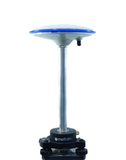
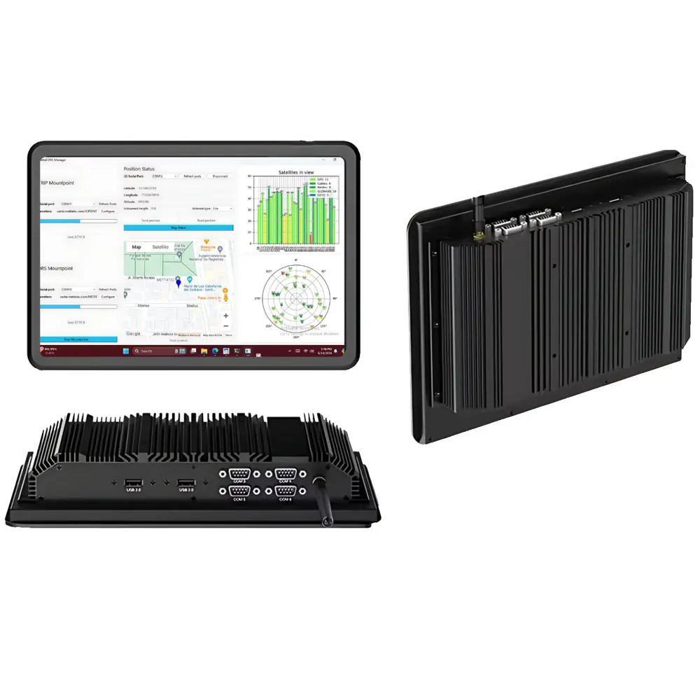
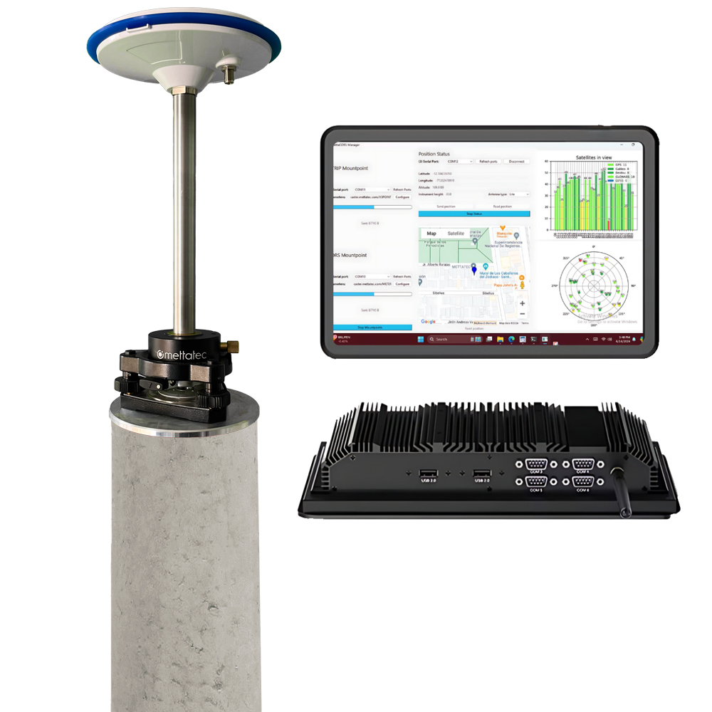
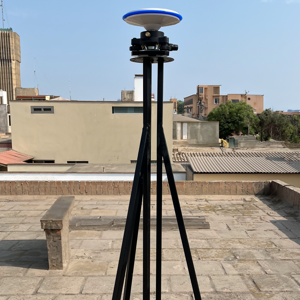
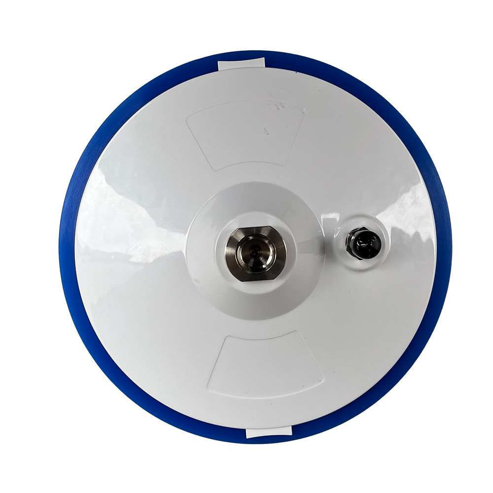
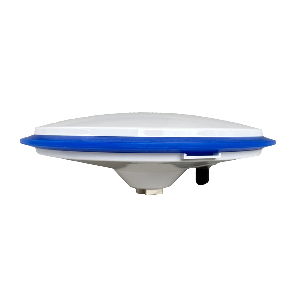
Continuous GNSS Tracking Station for various applications such as: Geodesy, Surveying, Cartography, GIS, Drones, Transportation, Construction, and Land Registry.
The CORS GNSS system is an all-in-one platform.
Operational Efficiency: Geospatial data management.
Accuracy: Sub-centimeter precision within the coverage area.
Accessibility: Mapping support for different areas.
Geospatial Data Management
Includes:
High-performance GNSS antenna
GNSS receiver
CPU
Management software
Installation and commissioning (number of hours depends on the plan)