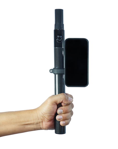
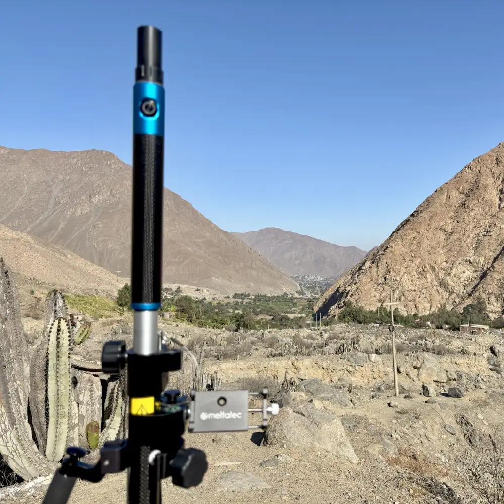
TKI Align Pro + NET Scan is an all-in-one hardware, software, and cloud solution that captures centimeter-accurate 3D digital twins in real time. It combines LiDAR and GNSS-RTK technology to quickly and easily document and share site data.
Key features:
3D scanning with georeferenced photos.
Robust hardware with LiDAR + GNSS.
One-button field app with automatic cloud upload.
Real-time online viewing and collaboration.
Export to GIS and CAD formats (Shape, KML, DXF).
Integration with GIS and CAD systems (such as AutoCAD, ESRI, QGIS, Google Earth), facilitating data use within existing workflows.