More applications, greater efficiency, and increased customer satisfaction.
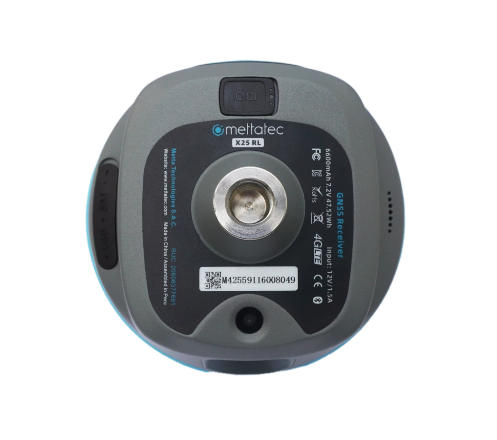
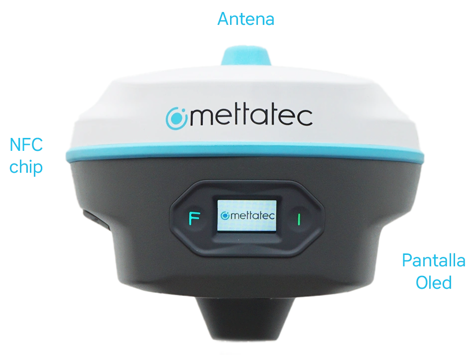
X25 RL
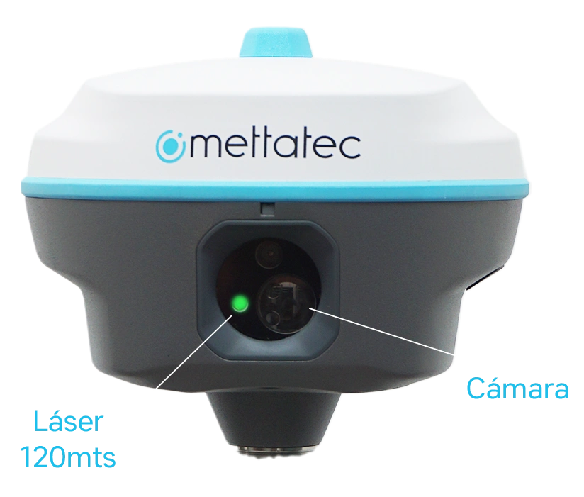
Measure impossible points with a cane and speed up complex layouts.
Laser measurement up to 120 meters and visual positioning for AR layout.
IMU 120°: starts and measures; greater speed and fewer leveling errors.
Internal radio with MettaLink protocol and range up to 15 km.
1408 channels, including Galileo HAS
Work further, faster, and more safely.
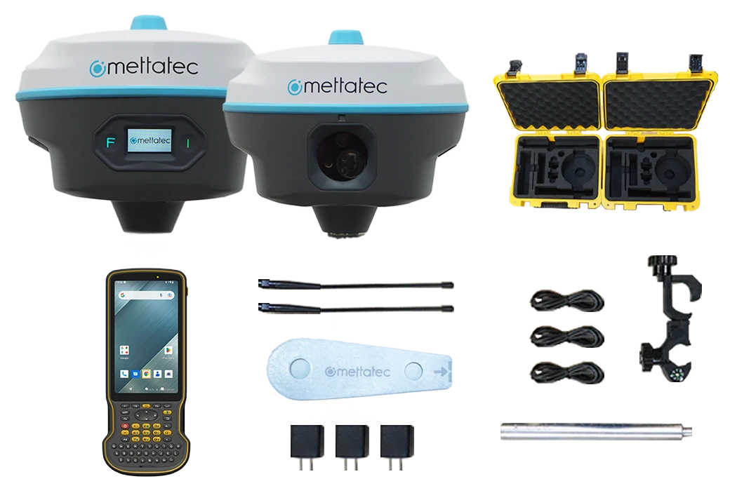
The X25 KIT integrates the X25R Base, the X25RL Rover with laser + 120° IMU, and the robust data collector (Android).
A complete solution for surveying, stakeout, and infrastructure in demanding environments.
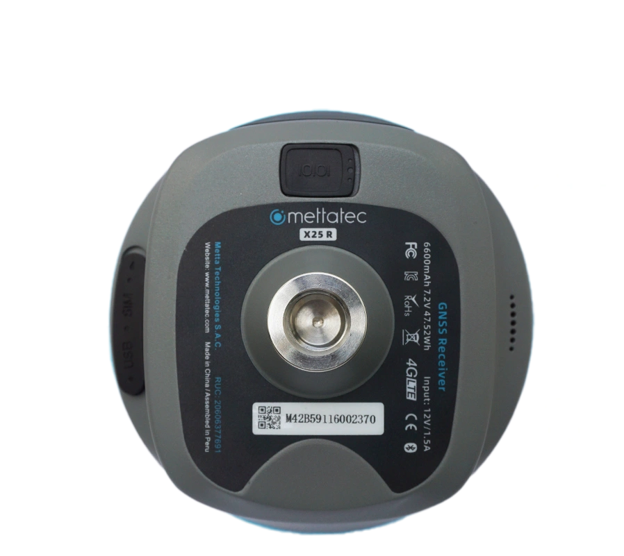
X25 R
GNSS Base Station with the Longest Reach
Internal 5W radio and integrated antenna.
GNSS RTK coverage up to 35 km (ideal conditions).
Full connectivity: 4G, Wi-Fi, Bluetooth + web interface
1408 channels, IP67, compact and rugged design
Broad and stable coverage:
Base with internal radio 5W up to 35 km under ideal conditions.
Immediate productivity:
Rover without calibration, 120° IMU and laser up to 120 m to measure risk zones or inaccessible points.
MettaSURVEY
APP
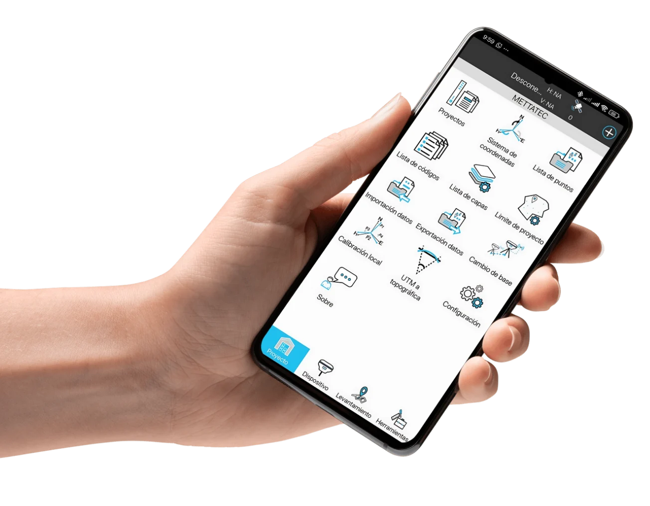
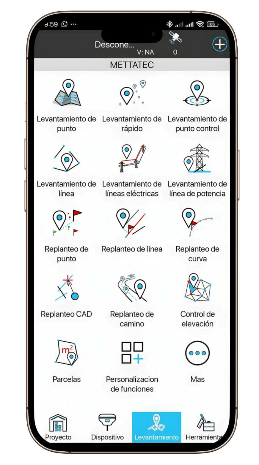
MettaSurvey is a high-precision GNSS-based surveying software for Android. It combines a simple workflow with clear modules for setting up projects, connecting equipment, and performing surveys and stakeouts with maximum productivity on site.
Surveying and staking: Points, lines, roads; CAD/DTM/DSM.
UHF antenna 410–470 MHz, measuring board, 25 cm mini pole, carrying case
X25RL — Rover
IMU
120°, without calibration Laser: range up to 120 m (measurement without pole)
Internal radio
MettaLink, range up to 15 km
Communications
— (collector road)
Key features
Visual positioning / AR for stakeout
Data Collector
System
Android 12 (GMS)
Screen
5.5” FHD (1080p) / 500 nits Battery: 9000 mAh, ≈ 22 h of operation
Protection
IP68, 1.5 m drop, 120 dB speaker
Connectivity
4G, Wi-Fi dual band, Bluetooth 5.0, USB-C/OTG
Autonomy (field reference)
Rover
+22 h (RTK laser mode)
Static
+35 h (depending on scenario)
*(Battery life values vary with temperature, network, and radio/laser/4G usage)
Compatibility & ecosystem
Compatible with RTK (NTRIP) networks and modern office workflows.
Interoperability with common CAD/GIS formats.
MettaLink between base and rover (when operating with internal rover radio)
Ready to take your accuracy and productivity to the next level?
Request a demo or quote for the X25 GNSS KIT now. We’ll help you configure it to suit your project. Don’t miss this pre-launch sale and secure your X25 equipment with a super discount.