
Total = USD 1,799 USD 1699 (Save USD 100)
Includes 1 year of MettaGO 360 + GEODNET licenses.
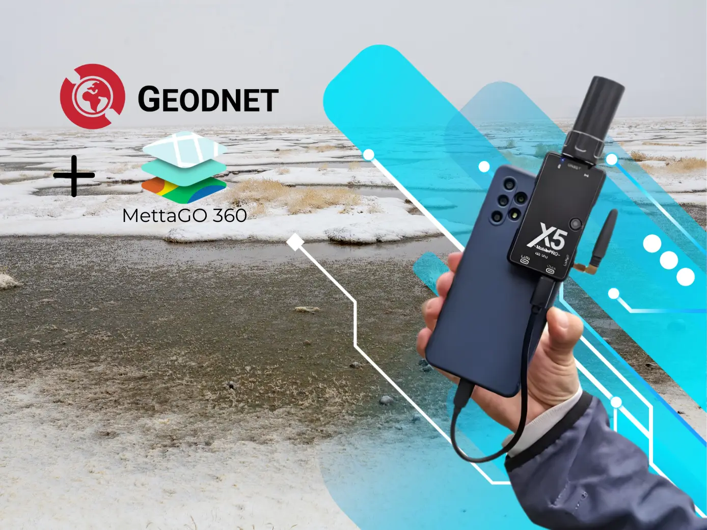
1)X5 Mobile Pro:Portable and lightweight GNSS receivercompatible withAndroid/iOS, withNTRIP (RTK), PPK, and LoRa RTK corrections for immediate centimeter-level accuracy, multi-constellation support, and Bluetooth connectivity.
2) MettaGO 360 – 1 year:Mobile platform + Webthat connectsfield and office, centralizes your geospatial workflow, and synchronizes data for faster, more confident decisions.
3) GEODNET RTK – 1 year:Access to a decentralized RTK networkthat delivers real-time corrections (“correction streaming”) to achieve centimeter-level accuracy near reference stations.
Get the power of precision in a single KIT:captures in the field, synchronizes in the cloud and works with real-time RTK corrections.
Surveying, construction, mapping/GIS, infrastructure, precision agriculture, and equipment that need a simple and robust flow of geospatial data.
Kit X5 Mobile Pro + GEODNET
The Mobile GNSS ecosystem benefits from our strategic alliance by utilizing the global coverage of the GEODNET network, which encompasses more than 21,000 base stations worldwide. Specifically in Peru, the network has 18 base stations, located as follows:
Lima: 7
Ica: 7
La Libertad: 1
Arequipa: 2
Huánuco: 1
From 1 to 2 centimeters up to 20 kilometers from a base station. (Check Coverage).
From 5 to 10 centimeters depending on the distance. (Check Coverage)
Yes, the ecosystem allows you to perform topographic surveys and advanced staking with great topographic accuracy.
The GEONET network features “Auto mountpoint” functionality and lower latency, making it a network that is easy to configure, available, and accessible compared to traditional networks.
Yes, as long as you have internet coverage you can accurately capture data from Mettago anywhere in your country and the world.